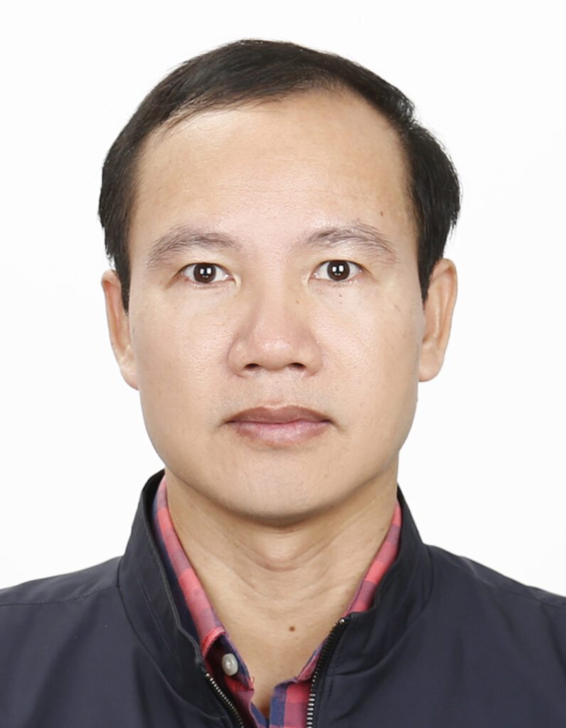
Ph.D. | Georg-August University of Göttingen, Germany (2016)
Master of Engineering | Hanoi University of Mining and Geology (2007)
Bachelor of Engineering | Hanoi University of Mining and Geology (1999)
Professional Experience
Lecturer, Posts and Telecommunications Institute of Technology (PTIT) | 2026 – Present
Vice Department Head, Vietnam National Space Center | 2016 – 2025
Department Head, Vietnam National Resources and Environment Corporation | 2000 – 2016
Scientific Research & Journal Publications
Quang.N.H (2026). Segmentation of flood-induced ravaged pavements by customised lightweight deep learning models. International Journal of Pavement Engineering/ Taylor & Francis.
Quang.N.H (2026). Semantic water body extraction by the high-quality segment anything model using multiple optical and SAR imagery. Acta Geophysica/ Springer.
Quang.N.H (2026). CNN-based golf course segmentation at a national scale using Sentinel-2 data. IOP Conference Series: Earth and Environmental Science/ IOP Publishing.
Quang.N.H (2026). Deep learning techniques on UAV image classification for cadastral mapping: tested for agricultural land in the Mekong Delta. IOP Conference Series: Earth and Environmental Science/ IOP Publishing. (Co-author)
Quang.N.H (2025). Sprawling lake segmentations from space-borne SAR imagery by fine-tuning the DeepLabV3+ model. Advances in Space Research/ Elsevier.
Quang.N.H (2025). AI-based flood mapping from high-resolution ASNARO-2 images: case study of a severe event in the Center of Vietnam. Natural Hazards/ Springer.
Quang.N.H (2025). Enhanced wildfire detection and semantic segmentation via fine-tuned deep learning models. Earth Science Informatics/ Springer.
Quang.N.H (2025). Leveraging convolutional neural networks and textural features for tropical fruit tree species classification. Remote Sensing Applications: Society and Environment/ Elsevier. (Co-author)
Quang.N.H (2025). Fine-Tuned Segment Anything Model (SAM) for Reservoir Extractions Compared With Popular CNNs: An Experiment for Space-Borne Synthetic-Aperture Radar Images. IEEE Access/ IEEE.
Quang.N.H (2025). Lake detection and semantic segmentation using a deep learning model and Kompsat-5 images. IOP Conference Series: Earth and Environmental Science/ IOP Publishing.
Quang.N.H (2024). Modelling sea and brackish water quality of Ha Long City (Vietnam) using machine learning and remote sensing techniques. Advances in Space Research/ Elsevier.
Quang.N.H (2024). Landscape Dynamics and Environmental Fragility Zoning in Hinh River Basin: Insights for protecting natural ecosystems. One Ecosystem/ Pensoft Publishers. (Co-author)
Quang.N.H (2024). Phát hiện sụt lún tại Thành phố Hội An, Quảng Nam bằng ảnh SAR. Khoa Học Đất/ Vietnam Soil Science. (Co-author)
Quang.N.H (2024). Acquisition of Slope 3D Information Using Terrestrial and Airborne LiDAR. Korean Society of Surveying, Geodesy, Photogrammetry and Cartography.
Quang.N.H (2023). Calibration of Sentinel-2 Surface Reflectance for Water Quality Modelling in Binh Dinh’s Coastal Zone of Vietnam. Sustainability/ MDPI. (Co-author)
Quang.N.H (2023). Đánh giá chất lượng nước biển: Nhiệt độ, độ đục, chlorophyll-a, CDOM tại thành phố Hạ Long. Tài nguyên và Môi trường/ Tài nguyên và Môi trường VN. (Co-author)
Quang.N.H (2023). Calibration of Sentinel-2 Surface Reflectance for Water Quality Modelling in Binh Dinh’s Coastal Zone of Vietnam. Sustainability/ MDPI.
Quang.N.H (2022). Recommendations to guide sampling effort for polygon-based participatory mapping used to identify perceived ecosystem services hotspots. MethodsX/ Elsevier. (Co-author)
Quang.N.H (2022). Comparisons of regression and machine learning methods for estimating mangrove above-ground biomass using multiple remote sensing data in the Red River Estuaries of Vietnam. Remote Sensing Applications: Society and Environment/ Elsevier.
Quang.N.H (2022). Social differences in spatial perspectives about local benefits from rehabilitated mangroves: insights from Vietnam. Ecosystems and People/ Taylor & Francis. (Co-author)
Quang.N.H (2022). Assessment of Human-Induced Effects on Sea/Brackish Water Chlorophyll-a Concentration in Ha Long Bay of Vietnam with Google Earth Engine. Remote Sensing/ MDPI.
Quang.N.H (2022). Modelling seawater quality of Rach Gia Bay of Vietnam, using Sentinel-2 imagery processed in the Google Earth Engine. TNU Journal of Science and Technology/ Thai Nguyen University.
Quang.N.H (2022). Analyzing river estuary changes using remote sensing images, a case study of Nhat Le River of Quang Binh Province. TNU Journal of Science and Technology/ Thai Nguyen University. (Co-author)
Books
Co-editor of Radar Remote Sensing and Its Applications in Flood Monitoring in Vietnam, published by the Science and Technology Publishing House in 2020.
Research Projects & Grants
Research on the structural characteristics of rainfall fields during typhoons and testing the construction of a model for forecasting rainfall distribution during typhoons in Vietnam using satellite data, Program for the development of basic science in the fields of chemistry, life sciences, earth sciences, and marine sciences for the period 2017–2025, 2023–2024.
Remote SENSing to monitor water quality parameters in freshwater systems, Collaborative research project between the Vietnam Academy of Science and Technology and Polish Academy of Sciences, 2023–2024.
Research on applications of remote sensing technology combined with mathematical modeling to monitor the use of rice straw in agricultural production towards organic and circular farming, contributing to the protection of air quality in the Mekong Delta, Ministry of Agriculture and Environment, 2022–2024.
Supporting rapid assessment of landscape change to improve planning and decision-making in Vietnam, Science and Technology Projects under the Protocol (with Australia), 2021–2023.
Research on applying artificial intelligence (AI) to calculate river flow for water allocation in river basins, tested in the Red River basin, Ministry of Agriculture and Environment, 2020–2022.
Research evaluating and forecasting the potential of solar energy for clean energy development in Vietnam, using a combination of remote sensing technology and numerical modeling, National Science and Technology Program on Space Technology, period 2016–2020, 2018–2020.
Using optical image fusion and SAR imaging algorithms for water separation – Application on the Vietnamese DataCube system, Basic Science Research Project, Vietnam National Space Center, 2018.
Research on developing several standardized application models to promote the exploitation and improve the efficiency of using LOTUSat satellite data, National Science and Technology Program on Space Technology, period 2016–2020, 2017–2020.